
Brandywine
American Left and Center
C) Street Road
The British columns approached from off the picture to the left and crossed Street Road, roughly paralleling it. ("Street Road" is a corruption of "Strait or Straight Road, the name given to it by William Penn.) Near the road they deployed from column to line and continued the advance. The troops crossing this ground had to have been the Hessian grenadiers who would soon clash with Sullivan. On the left of the picture, Street Road extends to a stoplight on the horizon where it intersects the Birmingham Road, then called Forks Road - the axis of the British advance and location of the British Grenadiers, and a little further the 1st Bn. Light Infantry. On the right of the picture you can see Street Road descending - then briefly climb up to where Sullivan first emerged from the Brandywine valley. To the front of the British was a low ridge, now occupied by McMansions, then the American line on the higher, following ridge.
Important Note: Ed Wimble, designer of 1777: The Year of the Hangman a wargame from Clash of Arms, e-mailed me the following interesting info on 6/16/04 about the general area where this picture was taken.
"On your old topographical map note that there is a vaguely indicated trail west of the intersection of Street Road and Birmingham Road, running from Street Road to the North and West. This can still be found if you are looking for it, though it is mostly overgrown and filled with fallen trees and brambles. This is the old Forks Road, not the one running from Birmingham Meeting to Strode's Mill (and from thence to Sconnelton), though there is some debate about this.
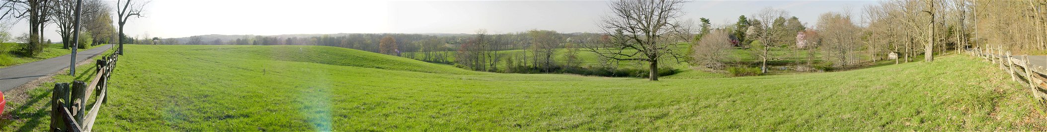
D) Presumed Area of American Left
It is difficult to tell much from battle accounts and tour books, but this is probably in the vicinity of the American left flank. Sullivan's division made its way cross country to join the other two American divisions. When they reached the line, Sullivan took charge of the whole line and left DeBorre in command of the division. The Maryland troops of the division were marching in column up a sunken road behind a ridge trying to reach and link up with the main American line. Before they could deploy, they were hit hard by Hessian grenadiers. Sullivan's division collapsed with only Hazen's regiment, or 400 of the 1,300 man division, managing to hold on.
E) American Center
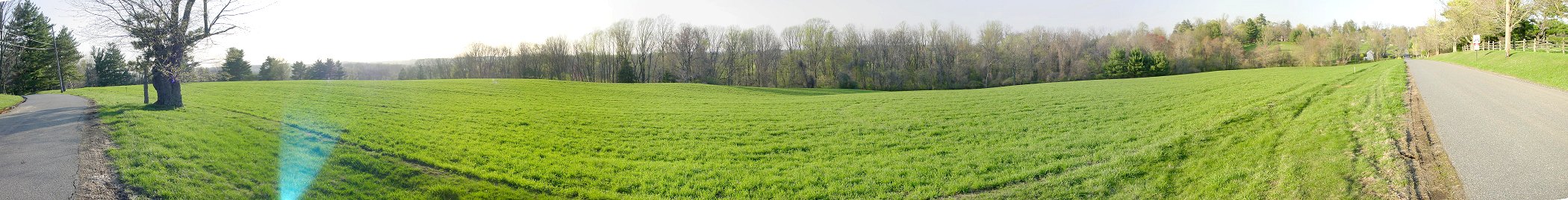
On the left of the picture you can see the road beginning to make an S turn to the area of the presumed left flank area shown in the previous picture. On the right of the picture, this same road descends then climbs up to intersect Birmingham Road just to the rear of the Birmingham Meeting House. Somewhere near here on the hill, possibly behind the camera further up the hill, the American center division under William Alexander, the self proclaimed Lord Stirling, composed of New Jersey and Pennsylvania Continentals, had taken up position. They faced the enemy to their front - and then after the collapse of Sullivan, to their left. Soon, Stephen's Virginia division to the right was attacked. Scott's brigade of Stephen's division fell back and the 1st Light Infantry attacked Stirling's right. Meanwhile, the Grenadiers attacked Stirling's front. The Grenadiers briefly went to ground, possibly intentionally to avoid the American fire, but then fixed bayonets and continued the attack. Pressured from three sides, Stirling's division withdrew.