Eastern Outer Defenses Part 2
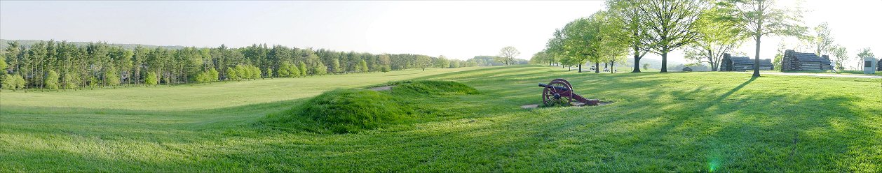
D) Redan to the Right of the Redoubt
This is the view of the redan to the right of the redoubt looking westward along the ridge. A line of earthworks extended along the ridge, and huts extended behind them from the reconstructed ones on the right of the picture down the road all the way to the distant wooded hill where Wayne's men encamped.
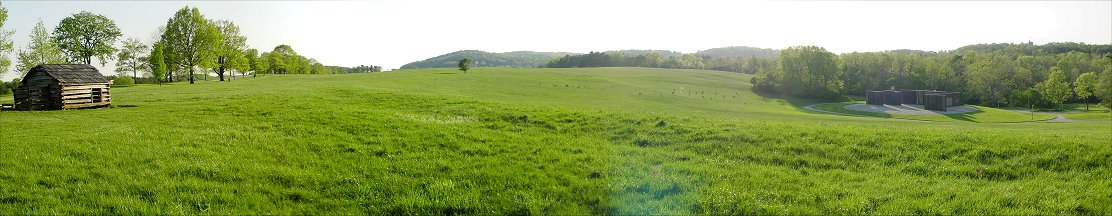
E) To the Rear of Muhlenberg Huts
This is the reverse slope of the ridge. Since it was a ridge, the area was well drained, an important health and sanitation feature. The distant hills mark the area of the inner defense line on Mount Joy perpendicular to the this line. Mount Misery is beyond Mount Joy, and it is appropriately larger. The modern structure on the right is an amphitheater, and the small dots in the field are deer, which along with suburbanites using the place as a city park, have largely taken over the historic site.
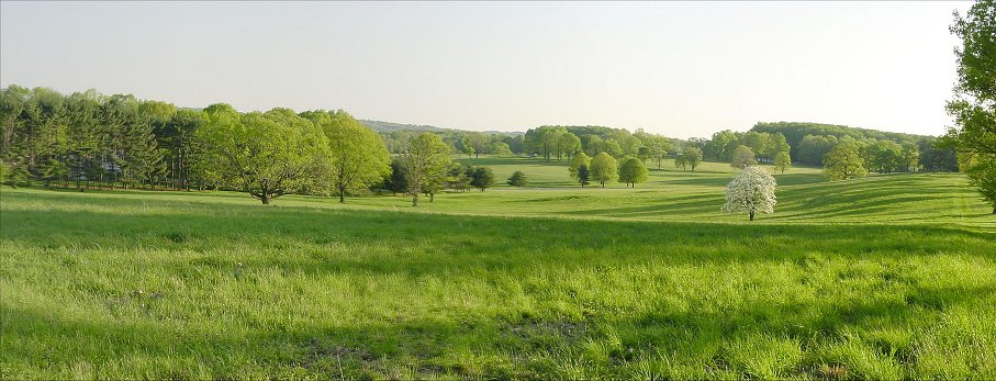
F) Looking Across Gulph Road
This is the view looking along the ridge from further down the line. The ridge dips down and is crossed by the Gulph Road, on which the army first entered Valley Forge, then juts forward and rises as Wayne's Woods, the right of the line.
Back to Valley Forge Home Page