From Tunnel Number 2 Toward Chorwon
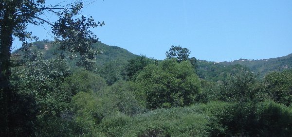
The below pictures were taken on the way down the hill from the tunnel entrance. The map coordinates are approximately 52 vertical and 41 horizontal on the Kumhwa map. We were moving generally south then west toward Chorwon. See the diorama pictures and maps in other sections.
Looking back toward the tunnel area.
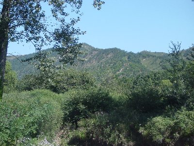
Looking back toward the tunnel area.
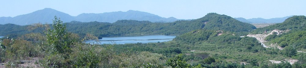
Looking into the direction of Outpost Harry. Our guide said the actual location of the OP is obscured.
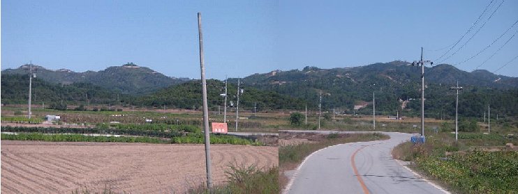
Looking back toward the tunnel area.